A look from above: how drones can support salmon battling climate change
This story originally appeared in the Winter 2023 edition of Salmon Steward, the Pacific Salmon Foundation’s quarterly print magazine.
With climate change comes warming waters – a potential death sentence for salmon.
As water warms, salmon’s metabolism speeds up, forcing them to burn energy faster. On top of that, warm water holds less oxygen, causing stress for returning adults.
During extreme drought this year, some rivers across B.C. reached temperatures well above 20°C – a dangerously high threshold for cold-water fish. And after three years of scorching summers, these conditions may be the new normal for salmon returns.
Thankfully, nature is equipped to help salmon adapt. Thermal refuges are micro-habitats where cool groundwater pools up in rivers, places that can give salmon some relief from high stream temperatures. Since salmon seek out these spots, there is a growing push to consider cold-water refuges in restoration efforts.
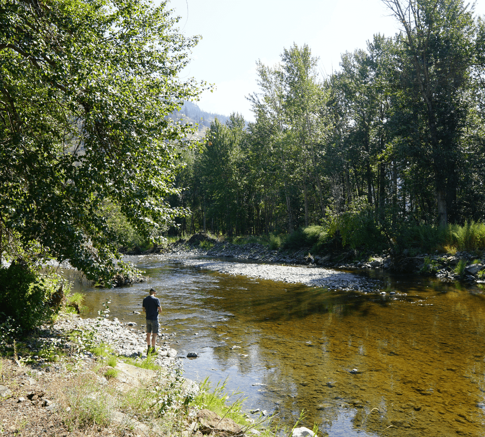
The Deadman River – a tributary of the Thompson River – where drones are helping map thermal refuges.
Tracking cold havens in B.C. streams
PSF’s Salmon Watersheds Program is supporting First Nations partners to identify and protect these natural cooling centers for salmon. With technical expertise from BCIT’s Remotely Piloted Aircraft Systems Hub, partners across B.C. can take thermal images of water surfaces using drones with infrared cameras.
The drones allow surveying of large areas where in-stream temperature loggers might not capture isolated refuges. By understanding where cool spots occur, planners can improve habitat protection and restoration strategies to increase Pacific salmon’s resilience to climate change.
The Salmon Watersheds Program has tailored their support based on partner needs. To date, PSF and BCIT staff have used drones to scan for thermal refuges in the Kitwanga River for the Gitanyow Fisheries Authority. Meanwhile, working with Secwépemc drone pilots and field technicians, PSF supported data collection in the Deadman River.
Murray Ross, director at the Secwépemc Fisheries Commission, emphasized that “we appreciate PSF sharing technical expertise to help us build our capacity. Using our drone, we will be expanding our hydrometric program into other salmon-bearing watersheds in Secwepemcúl’ecw.”
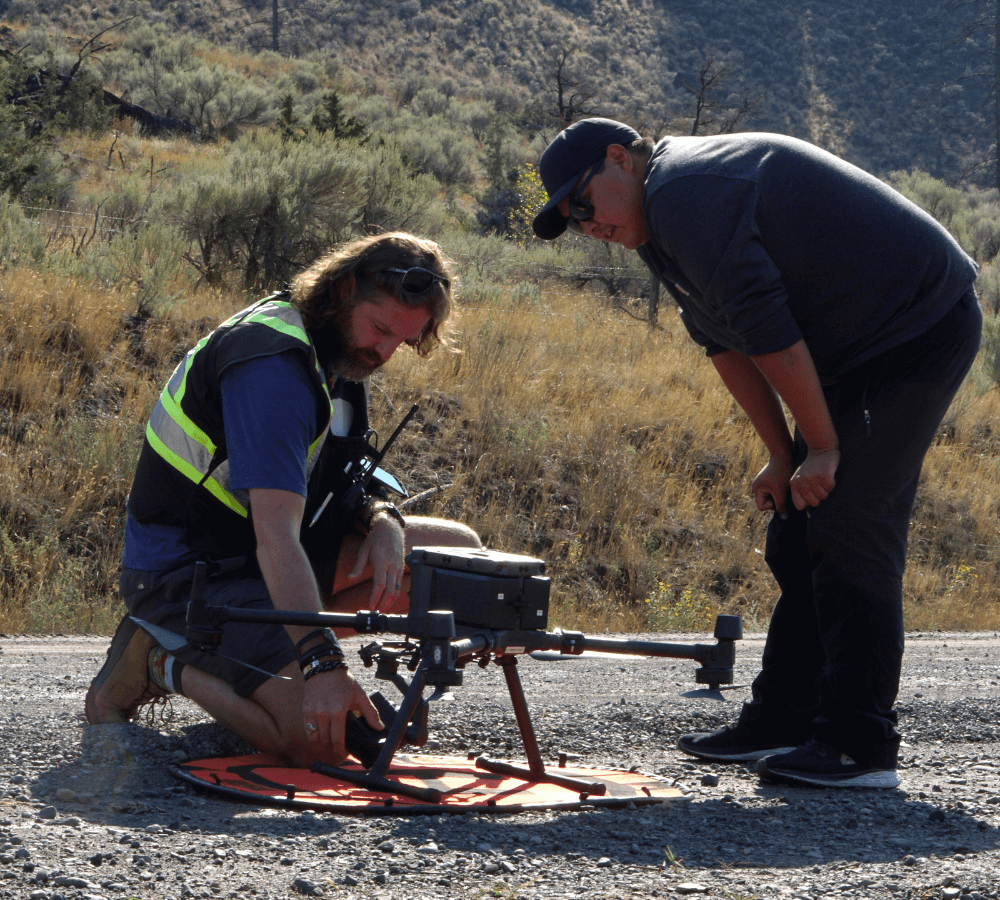
Dr. Eric Saczuk (BCIT) and Jeremy Sterling (Secwepemc Fisheries Commission) preparing for a drone survey.
Tech for salmon
The streams are chosen based on their importance as migratory and spawning grounds for salmon as well as their sensitivity to higher temperatures. To capture the right thermal images, the drones are programmed with a pre-mapped route. Each drone then flies itself over the desired area to collect data, which technicians download and process to map thermal refuges.
“Perhaps the best reason to employ drone technology to detect and map thermal refuges is the safety factor,” says Dr. Eric Saczuk, Head of Operations at BCIT’s Remotely Piloted Aircraft Systems Hub. “With the camera in the sky, the risks associated with traditional data collection like slips, falls, or bear attacks are drastically reduced.”
Using drones to study salmon streams has some limitations – like the inability to collect deeper water temperatures or fly through overhanging vegetation. Nonetheless, the sheer volume and precision of data these devices collect is remarkable. In the same amount of time it takes for a team to wade through a stream and collect a handful of data points, a drone can record millions of temperature readings with an impressive ±0.2°C accuracy.
As climate change becomes increasingly apparent in B.C., PSF is using this project to support concerned communities and improve the resilience of salmon habitats.
Don Ignace, Skeetchestn Natural Resources Operations Manager, hopes the drones will help identify thermal refuges to protect in the Deadman River. “Those areas are critically important for salmon, especially in the face of climate change. We have plans to use the information to protect those sites in the coming years.”
PSF is thankful for the generous support of the British Columbia Salmon Restoration and Innovation Fund (BCSRIF) and MITACS for this project.

