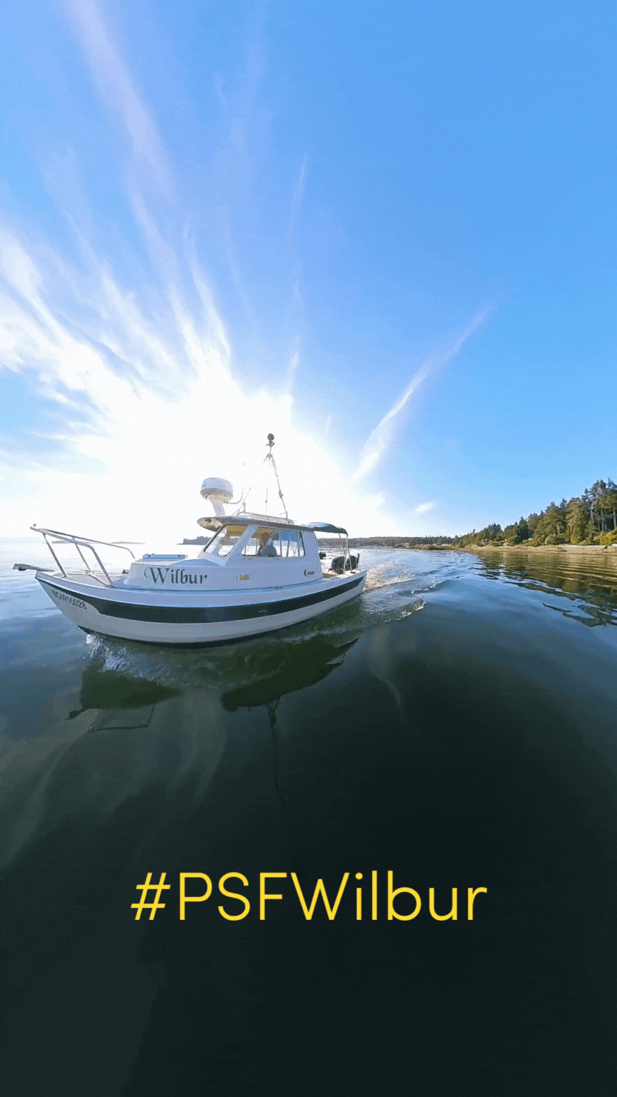
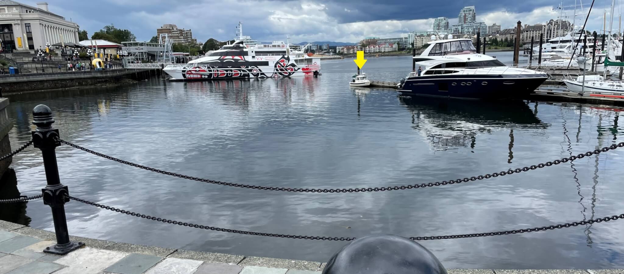
Where’s Wilbur?
Keep watch for the little boat this summer.
![]()
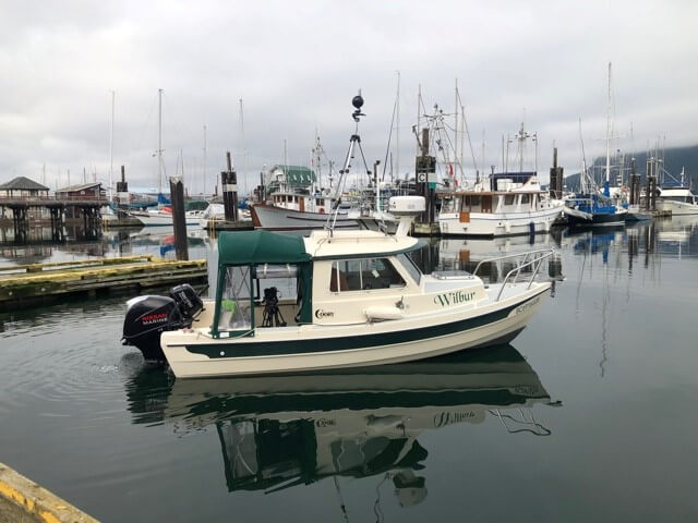
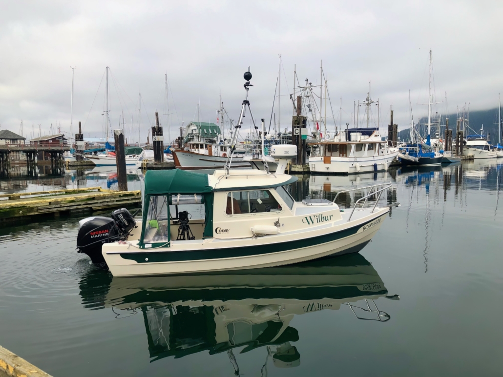
Wilbur, a 16 ft C-Dory, works with the Pacific Salmon Foundation’s Marine Science Program to map the shoreline along the east coast of Vancouver Island. The program aims to study environmental factors that impact wild salmon populations in the Salish Sea.
The Pacific Salmon Foundation’s 16-ft research boat Wilbur is mapping the shoreline along the east coast of Vancouver Island by recording 360-degree video footage and high-resolution photos of the shoreline of the East Coast of Vancouver Island from Victoria to Port McNeill to identify the extent of shoreline modifications.
From Thursday, July 13 until Tuesday, July 18, Wilbur will be cruising the coastlines between Parksville to Campbell River.
If you spot Wilbur in your local waters, snap a photo and use the hashtag #PSFWilbur, and the Pacific Salmon Foundation will mail you a special prize.
Wilbur’s schedule:
- Thursday, July 13: Schooner Cove, Nanoose Bay to French Creek
- Friday, July 14: French Creek to Deep Bay
- Saturday, July 15: Deep Bay to Comox
- Sunday, July 16 to Tuesday, July 18: Comox to north of Campbell River
*Wilbur’s travels are weather-dependent and his schedule may shift as required due to the forecast.
Healthy shorelines are essential for the survival of many plant and animal species, including forage fish such as surf smelt and Pacific sand lance, which are critical food for Pacific salmon. However, many shorelines have been modified with structures like seawalls, rip rap, piers, and docks, which can impede natural coastal processes and disrupt habitat.
Wilbur’s job is to record 360-degree video footage and high-resolution photos of the shoreline of the East Coast of Vancouver Island from Victoria to Port McNeill to identify the extent of shoreline modifications.
With Wilbur’s help, Marine Science’s Resilient Coasts for Salmon team will be able to see how much of the shorelines have been modified and identify areas where there may be challenges for the salmon food web.
“The goal of the Resilient Coasts for Salmon program is to help Pacific salmon and other species adapt to climate change by preserving and restoring their natural habitat, while at the same time, protecting coastal infrastructure including shoreline homes,” says Kyla Sheehan, program manager.
The team aims to raise public awareness of the impacts of climate change and build capacity to adopt nature-based solutions along local shorelines.
The program is funded in part by the Government of Canada and is a collaborative initiative led by the Pacific Salmon Foundation with partners such as the Stewardship Centre for BC, World Wildlife Fund — Canada, Peninsula Streams and Shorelines, and others.
See Wilbur’s work
Wilbur’s data on coastal modifications will be available to the public through the Strait of Georgia Data Centre’s Marine Reference Guide. This guide allows people to see the extent of coastal modifications and how they intersect with factors like sea level rise, locations of herring and forage fish spawning habitats, and local salmon-rearing habitats. Visit the Marine Reference Guide.
The Resilient Coasts for Salmon team also offers several resources, including an educational primer on the impacts of climate change on the coast and a tool kit with practical tips for nature-based solutions.
Green Shores® training sessions and shoreline mapping workshops will also be held this summer in Qualicum, Courtenay, and Comox.
More information is available here.
Use #PSFWilbur if you spot Wilbur this summer!
If you spot Wilbur, take a photo and post it on social media with the hashtag #PSFWilbur for a chance to receive a gift from the Pacific Salmon Foundation.