The Strait of Georgia: Submerge into the data
PSF’s evolving hub for marine data visualization.
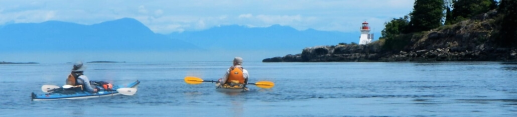
The Strait of Georgia — a marine corridor between Vancouver Island and the southwestern mainland coast of B.C. — is a highly productive ecosystem with diverse habitat that supports more than 3,000 species, including Pacific salmon.
The Pacific Salmon Foundation (PSF) has launched the Strait of Georgia Marine Reference Guide (SOG MRG) to help educate and inform your interactions with the sea. This interactive map centralizes and visualizes more than 400 data layers within the Strait’s marine ecosystem. Essentially, it’s a marine data search engine! It streamlines data access for marine decision-makers and recreational users alike.
Use the guide to compare shoreline sensitivity to future sea-level rise projections in different communities, identify important habitat areas, plan a boat trip with sustainable marina locations, and more.
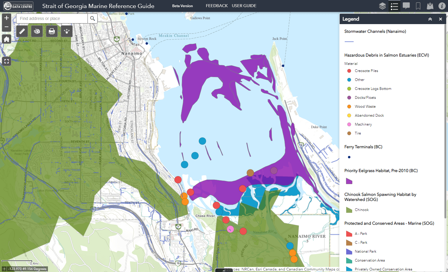
Threats to salmon habitat (i.e. stormwater, hazardous debris, ferry terminals) are displayed alongside key habitat areas (Chinook spawning watersheds, eelgrass, protected and conserved areas) in the Nanaimo River Estuary.
The Strait of Georgia Marine Reference Guide (SOG MRG) is a product of PSF’s Strait of Georgia Data Centre. Visit the tool here and leave feedback here to help shape the evolving interactive map. Spread the word and share the SOG MRG with your network!

